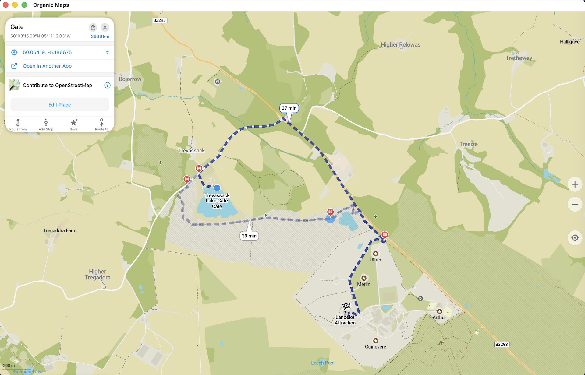
As you may have already noticed, the July Organic Maps update is out. Get it at https://get.omaps.org or on the App Store, Google Play, Huawei AppGallery, Obtainium, Accrescent, and F-Droid.
Thanks to your donations and feedback, in July we focused on bugfixes and improvements. In case you missed it, the following features from the previous June release are also available:
- Public transport routes (live schedules are in development)
- Satellite imagery
- Alternate routes for driving, hiking, and cycling
- New search and route planning interface for Android
- Support for large accessibility fonts on iOS
Detailed changelog
Map & places
- OpenStreetMap data updated as of July 14
- Notes reported to OpenStreetMap are now placed on the exact spot you selected, instead of in the middle of the whole street or area (Alexander Borsuk)
- Improved place selection when tapping the map in regions that cross the 180° antimeridian (Viktor Govako)
- Track elevation profiles no longer show outdated or empty charts after a track is deleted (Kiryl Kaveryn)
Public transport
- Stop, transfer, and station names now have a white outline to stay readable in both light and dark themes (Viktor Govako)
- The subway layer reappears correctly after you close a public transport route preview (Mikhail Listratsenka)
Routing & navigation
- Route warnings (tolls, ferries, unpaved roads, steps, and so on) are now shown for all alternate routes (Viktor Govako)
- Fixed a rare freeze while building a route (Viktor Govako)
- Improved handling of dead ends and of start and finish points on restricted roads (Viktor Govako)
- Fixed incorrect and missing turn instructions (Alexander Borsuk)
iOS
- New "Save search history" setting that lets you turn the history off and hide it if you would rather not keep it (Kiryl Kaveryn)
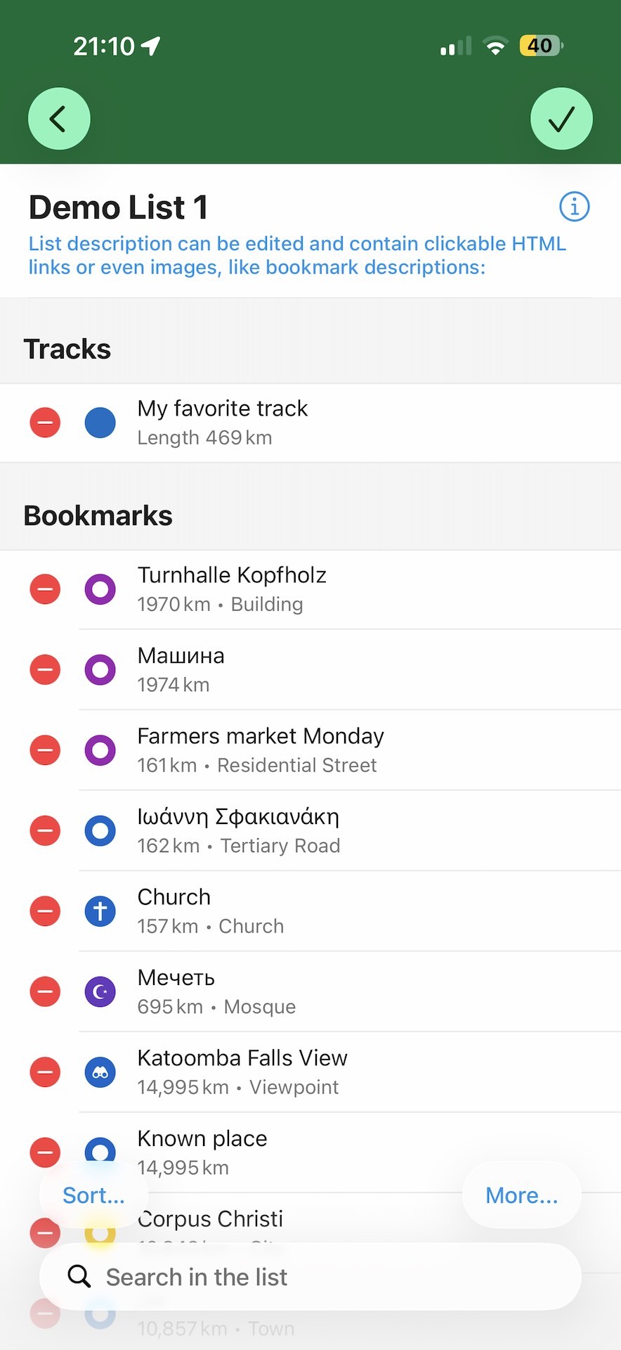
- New Edit button to remove bookmarks more easily (Kiryl Kaveryn)
- Bookmarks are now saved automatically when you leave the screen (Kiryl Kaveryn)
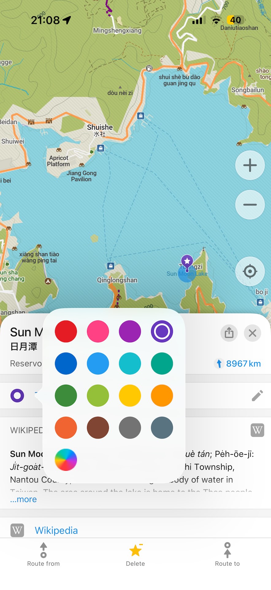
- The color palette now offers predefined colors and lets you choose any custom color (Kiryl Kaveryn)
- Improved the empty state of the elevation chart for a recorded track (Kiryl Kaveryn)
- Improved the route progress shown on the Start button (Kiryl Kaveryn)
- Reordering route stops no longer makes the list jump around (Kiryl Kaveryn)
- Other minor interface improvements (Kiryl Kaveryn)
Android
- Opening hours now show split shifts (such as a lunch break), start from today, and display the whole week without a separate scrolling area (Owm Dubey, Alexander Borsuk, Mikhail Listratsenka)
- Cleaner search bar with a combined clear and voice button, a clear icon that no longer moves, and layout fixes for landscape mode and phone rotation (Mikhail Listratsenka)
- Reworked bookmark and track editor (Mikhail Listratsenka)
- Route planning fixes and improvements (Mikhail Listratsenka)
- The color picker now closes automatically, and a crash on Android 5 is fixed (Mikhail Listratsenka)
- Fixed crashes (Alexander Borsuk, Mikhail Listratsenka)
Desktop
- The list of maps available for download is now sorted alphabetically (goncalo109560)
Translations
- Improved Chinese wording (Chenxi Zhao)
- Updated Ukrainian translations (Nnifria)
- Fixed Italian translations of map region names (Vittorio Bertola)
Join beta testing to try early features and report issues:
Hint: the beta version has new hillshading, improved elevation data with support for feet and meters, and other cool features!
Happy summer! Organic Maps Team